Total population
2,170,423 2023 Digital Census
Attock District serves as a primary strategic, military, and geoeconomic frontier at the northernmost gateway of the Punjab province. Bordered directly by Khyber Pakhtunkhwa (KP) along the Indus River and located near the federal capital, it acts as a central corridor linking Punjab with Central Asia and northern trade networks. The district features crucial national defense installations alongside a diverse landscape composed of the rugged Kala Chitta mountain ranges, plain agrarian fields, and the Pothohar plateau across 6 administrative sub-divisions. This page summarises district statistics, services, elected representation, and priority development challenges.
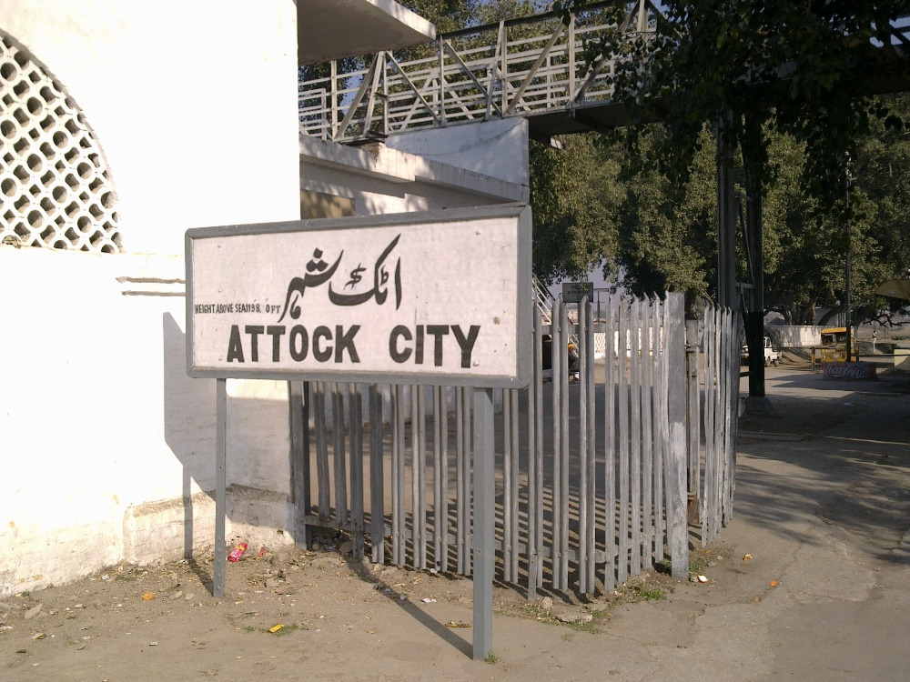
2,170,423 2023 Digital Census
6,857 km²
6 tehsils · 72 union councils · 455 villages
| Indicator | Value |
|---|---|
| Total population (2023 Census) | 2,170,423 |
| Tehsils | 06 |
| Union councils | 72 |
| Villages | 455 |
| Total area | 6,857 km² |
| Type | Count |
|---|---|
| Government schools | 1,205 |
| Public colleges | 29 |
| Cadet colleges | 01 |
| University campuses | 04 |
| Facility type | Count |
|---|---|
| DHQ hospital | 01 |
| THQ hospitals | 05 |
| Rural health centres (RHCs) | 05 |
| Basic health units (BHUs) | 63 |
| Rural dispensaries | 23 |
| MCH centres | 09 |
| Facility type | Count |
|---|---|
| DHQ | 01 |
| THQ | 05 |
| RHC | 05 |
| BHU | 63 |
| Dispensaries | 23 |
| Total documented facilities | 86 |
| Circle / Tehsil | Stations |
|---|---|
| Attock | 04 |
| Hazro | 02 |
| Hassan Abdal | 02 |
| Pindi Gheb | 03 |
| Jand | 03 |
| Total | 14 |
| Measure | Notes |
|---|---|
| Civil courts (by tehsil) | Not specified in available district source data. |
Based on listed MNAs and MPAs (NA-49–50, PP-1–5). PML-N: 4 · IND: 3.
Hospital beds per 1,000 population, unemployment/underemployment, safe water access, and road surface fatigue from district source data. Further detail is in the priority sections below.
| Member | Constituency | Name (Party) |
|---|---|---|
|
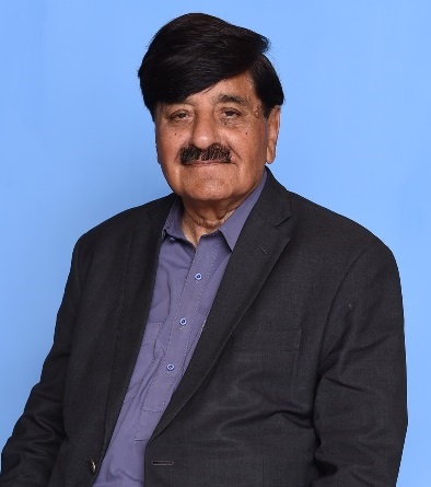
NA-49 Attock-I | Sheikh Aftab Ahmad (PML-N) |
|
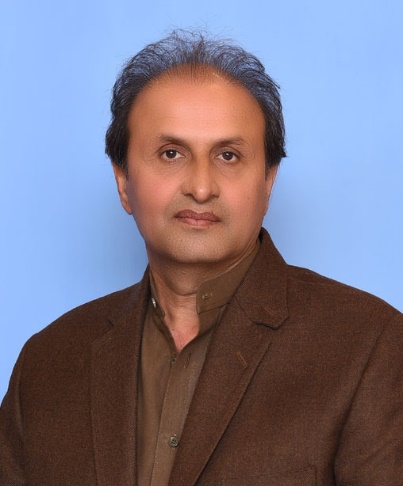
NA-50 Attock-II | Malik Sohail Khan (PML-N) |
| Member | Constituency | Name (Party) |
|---|---|---|

|
PP-1 Attock-I | Qazi Ahmed Akbar (IND) |

|
PP-2 Attock-II | Sardar Mohammad Ali Khan (IND) |

|
PP-3 Attock-III | Syed Ejaz Hussain Bukhari (IND) |

|
PP-4 Attock-IV | Sher Ali Khan (PML-N) |
|
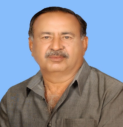
PP-5 Attock-V | Malik Aitbar Khan (PML-N) |
Attock faces a deep-rooted structural healthcare infrastructure deficit with a localized allocation of just 0.34 beds per 1,000 citizens across its formal provincial network, channelling severe trauma and complex tertiary cases outward to Rawalpindi's already congested teaching hospitals due to a lack of advanced critical care units within its 5 THQ facilities.
Despite maintaining an overall district literacy rate of 70.22%, the vast geographic span between isolated rural blocks causes a sharp primary-to-secondary retention drop, leaving a distinct gender educational imbalance where female literacy falls to 60.66% in remote sub-tehsils owing to the limited availability of nearby higher secondary infrastructure.
The district carries an institutional economic paradox where, despite extensive defense sector employment and high inflows of foreign remittances from a massive overseas diaspora, localized youth unemployment remains high at 11% due to an underaligned industrial base that lacks corporate opportunities for newly graduating university youth.
Intense underground water table depletion combined with natural geological limitations across the Pothohar plateau has left a legacy water supply deficit, where an average of 40% of the population lacks access to biologically safe drinking water, leaving them dependent on seasonal rainfall or highly vulnerable, unmonitored shallow wells.
Unregulated industrial runoffs, solid waste dumping, and stone-crushing dust emissions present severe ecological challenges across industrial pockets like Hassan Abdal, while recent agricultural testing confirms that up to 14% of localized groundwater channels adjacent to major industrial loops show signs of hazardous chemical and heavy-metal seepage.
Advanced structural surface fatigue and asphalt deterioration impact more than 40% of secondary link networks and rural farm-to-market loops, driven by an inadequate internal layout that cracks under the continuous load of heavy heavy-axle logistics transport bypassing major national highways and motorways.