Total population
1,734,854 2023 Digital Census
Chakwal District is located in the southern part of the Pothohar Plateau, serving as a critical cultural, military, and ecological anchor in northern Punjab. Geographically defined by its unique landscape of rugged hills, seasonal torrents, and the Salt Range to its south, the district is highly renowned as a prime recruitment ground for the armed forces. It structurally transitions between an arid agricultural layout and rich mineral extraction fields, containing significant reserves of limestone, coal, and salt that supply Punjab's heavy construction industries. This page summarises district statistics, services, elected representation, and priority development challenges.
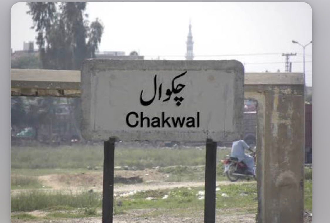
1,734,854 2023 Digital Census
6,524 km²
5 tehsils · 71 union councils · 455 villages
| Indicator | Value |
|---|---|
| Total population (2023 Census) | 1,734,854 |
| Tehsils | 05 |
| Union councils | 71 |
| Villages | 455 |
| Total area | 6,524 km² |
| Type | Count |
|---|---|
| Government schools | 1,201 |
| Public colleges | 26 |
| Facility type | Count |
|---|---|
| DHQ hospital | 01 |
| THQ hospitals | 03 |
| Rural health centres (RHCs) | 10 |
| Basic health units (BHUs) | 64 |
| Rural dispensaries | 36 |
| MCH centres | 09 |
| City Hospital Talagang | 01 |
| Facility type | Count |
|---|---|
| DHQ | 01 |
| THQ | 03 |
| RHC | 10 |
| BHU | 64 |
| Dispensaries | 36 |
| Total documented facilities | 124 |
| Circle / Tehsil | Stations |
|---|---|
| Chakwal Saddar Circle | 04 |
| Choa Saidan Shah Circle | 02 |
| Kallar Kahar Circle | 02 |
| Talagang Circle | 03 |
| Total | 11 |
| Measure | Notes |
|---|---|
| Civil courts (by tehsil) | Not specified in available district source data. |
Based on listed MNAs and MPAs (NA-58–59, PP-20–23). PML-N: 6 seats.
Hospital beds per 1,000 population, unemployment/underemployment, safe water access, and road surface fatigue from district source data. Further detail is in the priority sections below.
| Member | Constituency | Name (Party) |
|---|---|---|
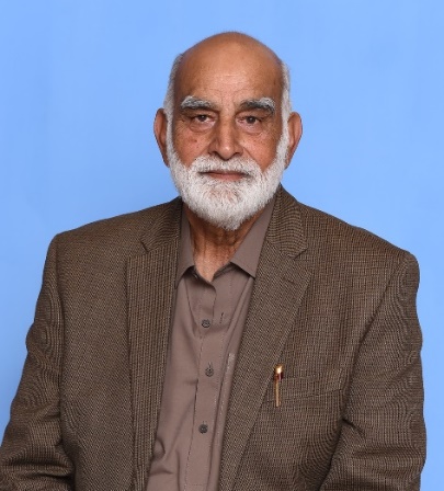
|
NA-58 Chakwal | Major (R) Tahir Iqbal (PML-N) |
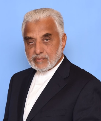
|
NA-59 Chakwal-cum-Talagang | Sardar Ghulam Abbas (PML-N) |
| Member | Constituency | Name (Party) |
|---|---|---|
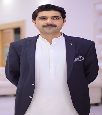
|
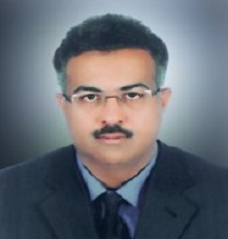
PP-20 Chakwal-I | Sultan Haider Ali Khan (PML-N) |
|
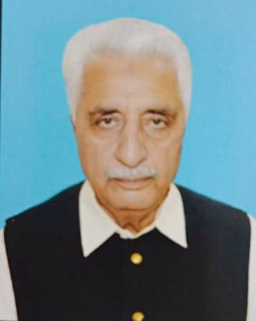
PP-21 Chakwal-II | Tanveer Aslam Malik (PML-N) |
|
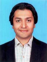
PP-22 Chakwal-cum-Talagang | Malik Falak Sher Awan (PML-N) |
|
PP-23 Chakwal-cum-Talagang | Shahryar Malik (PML-N) |
Chakwal operates under an intense primary healthcare strain, offering an overstretched layout of just 0.38 beds per 1,000 citizens across its state-run facilities, which systematically shifts the burden of critical cardiac care, complex urology, and severe accidental trauma cases outward onto Rawalpindi's distant teaching hospitals.
Despite the district boasting a highly commendable baseline literacy rate of 74.6%, the harsh, expansive terrain of the Salt Range creates a severe primary-to-middle school structural layout gap, driving an out-of-school child pattern that hits remote rural tehsils like Lawa and parts of Choa Saidan Shah due to the physical isolation of higher education facilities.
The local economy suffers from an institutional employment paradox; despite massive international migration loops and heavy recruitment into defense sectors, a localized underemployment rate of 10.5% to 13% persists among educated civilian youth who face a lack of modern corporate, digital IT hubs, or diversified industrial careers.
Driven by an arid climate and natural geological barriers across the Pothohar plateau, the water table has severely receded, leaving 40% to 44% of the population without access to piped, biologically safe drinking water and triggering an intense reliance on highly brackish local wells or expensive, over-extracted private tractor-tanker mafias.
Heavy industrial mineral exploitation presents massive ecological threats, where dust emissions and untreated carbon effluents from massive clusters of cement factories and open coal-mining sites in the Kallar Kahar and Choa Saidan Shah loops have contaminated close to 16% of surrounding sub-soil agricultural aquifers.
Advanced structural surface fatigue and asphalt cracking affect over 45% of secondary farm-to-market link roads, caused by an inadequate internal road layout that routinely fails under the weight of heavy multi-wheel commercial freight trucks transporting mined limestone, coal, and salt to central Punjab hubs.