Total population
1,382,308 2023 Digital Census
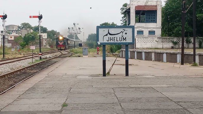
Jhelum District, situated along the right bank of the Jhelum River in northern Punjab, serves as a crucial geostrategic, historical, and military anchor within the Pothohar region. Famously dubbed the “Land of Soldiers” due to its centuries-old tradition of supplying a massive portion of manpower to the armed forces, it serves as a central point of intersection between central Punjab networks and Kashmir trade routes. The district's landscape features a diverse geological terrain ranging from the sharp ridges of the Salt Range to deep ravines, integrating extensive stone-quarrying, tobacco curing, and heavy industrial salt and cement hubs across 4 administrative sub-divisions. This page summarises district statistics, services, elected representation, and priority development challenges.
1,382,308 2023 Digital Census
3,587 km²
4 tehsils · 44 union councils · 652 villages
| Indicator | Value |
|---|---|
| Total population (2023 Census) | 1,382,308 |
| Tehsils | 04 (Jhelum, Dina, Sohawa, Pind Dadan Khan) |
| Union councils | 44 |
| Villages | 652 |
| Total area | 3,587 km² |
| Type | Count |
|---|---|
| Government schools | 791 |
| Public colleges | 12 |
| Facility type | Count |
|---|---|
| DHQ hospital | 01 |
| THQ hospitals | 02 |
| Rural health centres (RHCs) | 06 |
| Basic health units (BHUs) | 49 |
| Others (MCH, GRD, RD) | 29 |
| TB hospital | 01 |
| Facility type | Count |
|---|---|
| DHQ | 01 |
| THQ | 02 |
| RHC | 06 |
| BHU | 49 |
| Others | 29 |
| Total documented facilities | 88 |
| Circle / Tehsil | Stations |
|---|---|
| Tehsil Jhelum | 04 |
| Tehsil Dina | 02 |
| Tehsil Sohawa | 02 |
| Tehsil Pind Dadan Khan | 03 |
| Total | 11 |
| Measure | Notes |
|---|---|
| Civil courts (by tehsil) | Not specified in available district source data. |
Based on listed MNAs and MPAs (NA-60–61, PP-24–26). PML-N: 3 · IND: 2.
Hospital beds per 1,000 population, unemployment/underemployment, safe water access, and road surface fatigue from district source data. Further detail is in the priority sections below.
| Member | Constituency | Name (Party) |
|---|---|---|
|
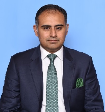
NA-60 Jhelum-I | Bilal Azhar Kayani (PML-N) |

|
NA-61 Jhelum-II | Chaudhry Farrukh Altaf (PML-N) |
| Member | Constituency | Name (Party) |
|---|---|---|

|
PP-24 Jhelum-I | Syed Riffat Mehmood (PML-N) |
|
PP-25 Jhelum-II | Yasir Mehmood Qureshi (IND) |
|
PP-26 Jhelum-III | Mushtaq Ahmed (IND) |
Jhelum operates under severe structural primary and secondary health strains, offering an overstretched layout of 0.42 beds per 1,000 citizens across its civilian state-run facilities. This institutional shortage systematically leaves remote rural tehsils like Sohawa and Pind Dadan Khan dependent on long, hazardous transit networks to Rawalpindi for complex cardiac emergencies, oncology, and advanced neonatal intensive care.
Despite the district boasting a highly advanced baseline literacy rate of 79.4%—one of the highest in the country—the rugged, dissected topography of the Salt Range creates a severe school availability gap. This landscape causes a sharp primary-to-secondary retention drop, where children in distant riverine patches and upland pockets drop out due to the physical isolation of higher secondary institutions.
The local economy suffers from a deep institutional employment paradox; despite massive inflows of international remittances from a vast overseas diaspora and high recruitment into defense sectors, a localized underemployment rate of 13.5% persists among educated civilian youth who face a total absence of modern corporate structures, digital IT hubs, or diversified white-collar careers.
Driven by an arid microclimate and complex geological formations, the underground water table has severely receded across the district. Consequently, close to 44% to 48% of the population lacks consistent access to piped, biologically safe drinking water, triggering an intense reliance on seasonal rainfall streams, highly brackish community wells, or expensive private tractor-tanker suppliers.
Extensive mineral exploitation and heavy production lines present massive ecological threats across the division; unmonitored stone-crushing operations, limestone quarrying, and industrial emissions from large clusters of cement factories and salt processing mills in the Pind Dadan Khan and upland loops have contaminated close to 15% of adjacent sub-soil agricultural tracts.
Advanced structural surface fatigue and severe asphalt cracking affect over 40% of secondary farm-to-market link roads, caused by an inadequate internal road layout that routinely buckles under the weight of heavy, multi-wheel industrial freight trucks transporting mined rock salt, limestone, and coal to mainstream central Punjab industrial hubs.